
What NavIC is
NavIC, Navigation with Indian Constellation, formerly known as IRNSS, is India's own regional satellite navigation system, developed by ISRO, providing positioning accuracy better than 10 metres across India and better than 20 metres in the surrounding region out to roughly 1,500 km. The system runs on a constellation of geostationary and inclined geosynchronous satellites, entirely independent of the American GPS constellation, though, like GAGAN covered elsewhere in this catalogue's aviation content, capable of working alongside it.
Why NavIC took time to reach consumer handheld devices
NavIC's original satellites broadcast on the L5 and S-band frequencies, neither of which most consumer GPS chipsets, built primarily around GPS's L1 frequency, were designed to receive. This meant that for years, using NavIC required specialised receiver hardware rather than the kind of chipset already built into consumer and outdoor handheld GPS devices. India announced plans to broadcast an additional L1 signal from NavIC's newer generation of satellites, and this L1 capability, on frequencies consumer GPS chipsets already commonly support, is what made NavIC integration into mainstream handheld devices genuinely practical rather than requiring bespoke hardware.
ASPL's 2024 partnership
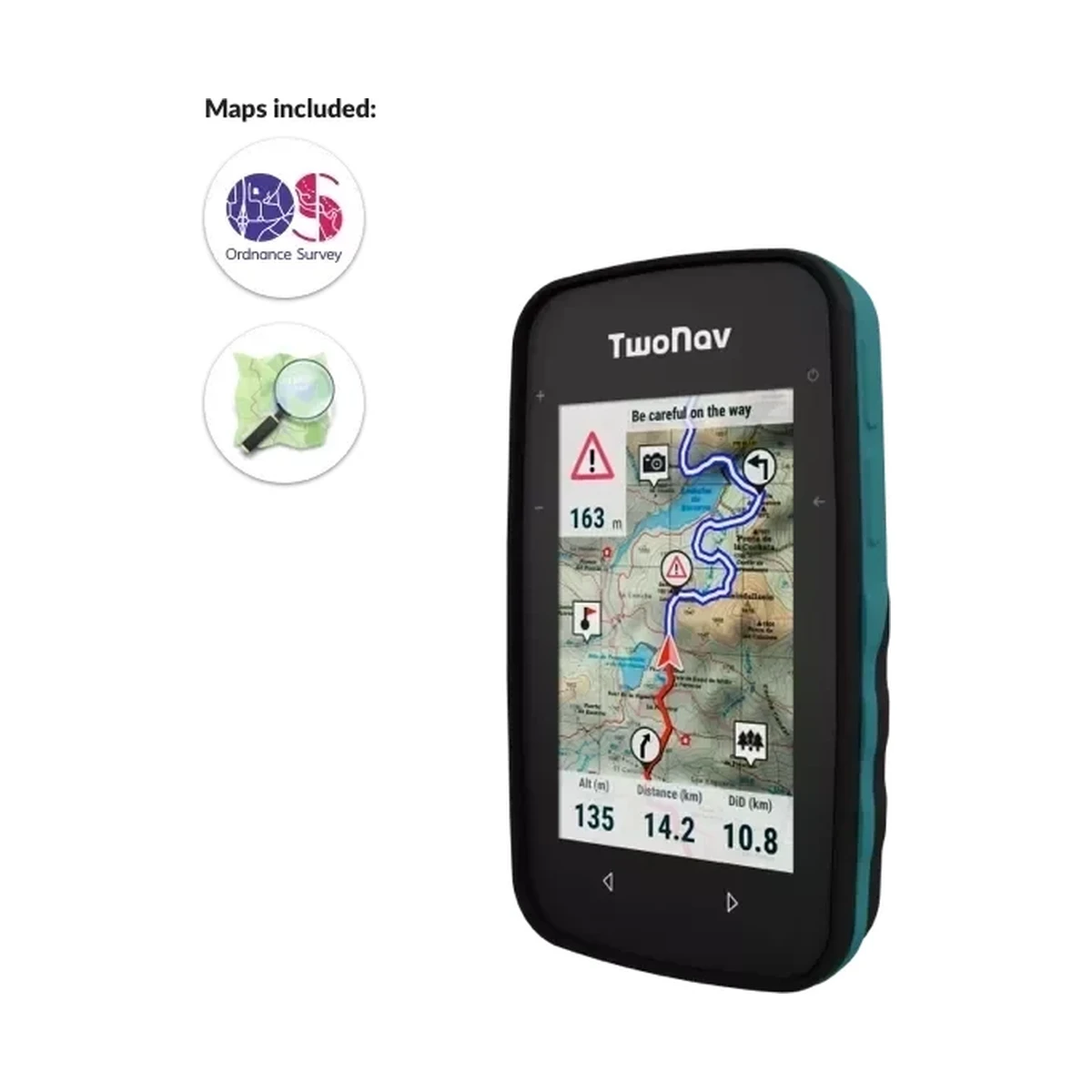
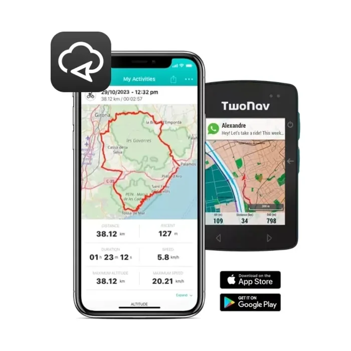
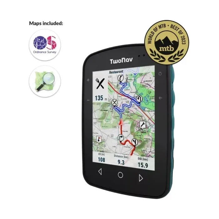
In 2024, ASPL partnered with TwoNav to develop NavIC-enabled GPS handheld devices for the Indian market, extending TwoNav's existing outdoor navigation range, the Aventura 2 Plus, Cross Plus, Roc and Terra devices covered elsewhere in this catalogue, with support for India's own satellite constellation alongside the international GPS and GLONASS systems these devices already track.
Why this matters for outdoor navigation specifically
A dedicated outdoor GPS handheld, unlike a smartphone, is built for use in exactly the conditions where satellite reception can be marginal, dense forest canopy, deep valleys, mountainous terrain, and adding NavIC as an additional constellation to track alongside GPS and GLONASS improves the odds of a strong, reliable fix in precisely those challenging conditions, since more satellites in view generally means better geometry and more resilient tracking, the same underlying principle covered in this catalogue's GLO 2 aviation GPS content.
Why a domestic navigation system matters strategically, not just technically
Beyond the practical accuracy benefit, NavIC support in consumer devices reduces dependence on foreign-operated satellite systems for a capability, precise positioning, that increasingly underlies both civilian and strategic applications. Being an early mover in bringing NavIC support to consumer handheld devices places ASPL and TwoNav ahead of the broader market adoption curve this L1 signal expansion is expected to drive.
How this fits ASPL's broader navigation technology history
This 2024 milestone, adopting India's own satellite navigation system into consumer devices, sits naturally alongside ASPL's history of introducing new navigation technology to the Indian market, GPS itself in 1998 and turn-by-turn navigation in 2006, both covered elsewhere in this series, continuing a pattern of being an early channel for new positioning technology in India rather than a late adopter.
What this represents for outdoor and adventure GPS buyers
- NavIC support in a handheld device is a genuinely new capability, not a marketing label, reflecting the specific L1 signal technical change that made mainstream consumer integration practical.
- Multi-constellation tracking, GPS, GLONASS and now NavIC, improves reliability specifically in the challenging terrain outdoor GPS devices are built for.
- ASPL and TwoNav's partnership positions this equipment ahead of the broader market's NavIC adoption curve.
ASPL supplies TwoNav's outdoor GPS range in India, including the NavIC-enabled capability developed through this 2024 partnership.