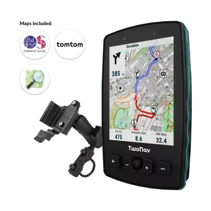
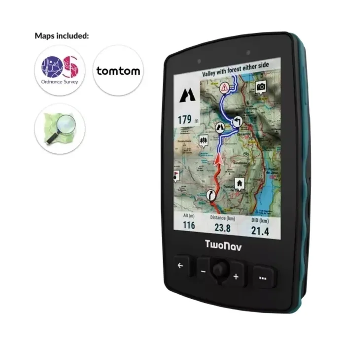
Aventura 2 Plus
GPS TwoNav Aventura 2 Plus - A cutting-edge GPS with a large screen that’s resistant to extreme temperatures, perfect for extreme hiking and hiking. With a joystick and buttons to easily navigate maps. Includes topographic map.
One stop shop for complete navigation & communication solutions.
Garmin

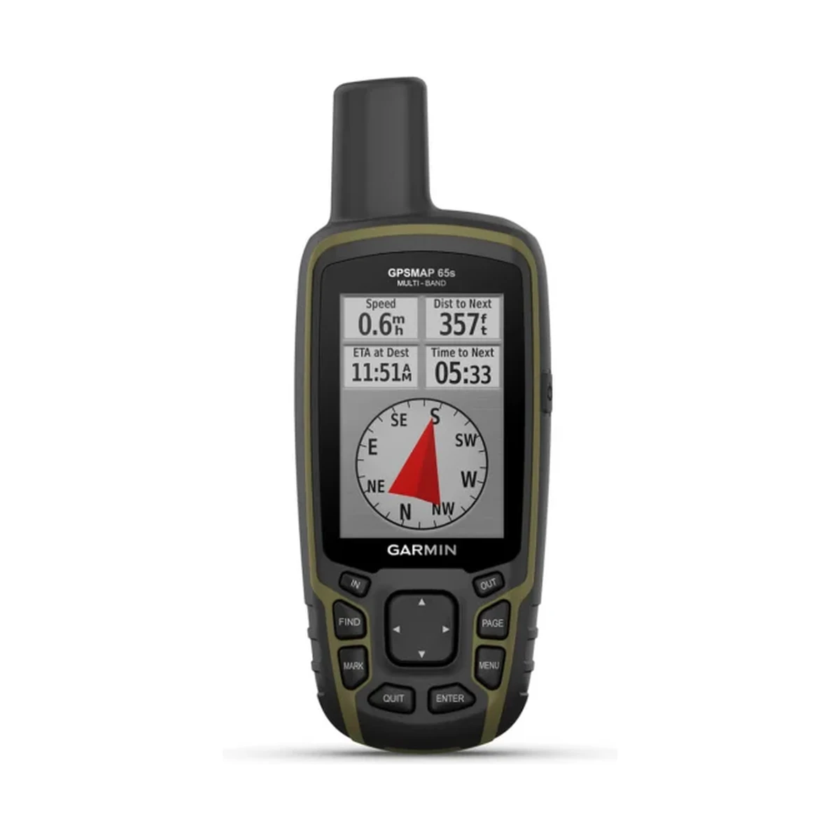
Multi-Band GPS Handheld with Sensors Explore more with this rugged handheld that offers multi-band frequency support for our most accurate position to date, a 2.6” color display, and preloaded maps. Don’t miss a detail with this large, sunlight-readable color…
Technical
| DIMENSION | 2.4″ x 6.3″ x 1.4″ (6.1 x 16.0 x 3.6 cm) |
|---|---|
| DISPLAY SIZE | 1.43″ x 2.15″ (3.6 x 5.5 cm); 2.6″ diag (6.6 cm) |
| DISPLAY RESOLUTION | 160 x 240 pixels |
| DISPLAY TYPE | transflective, 65K color TFT |
| WEIGHT | 7.7 oz (217 g) with batteries |
| WATERPROOF | IPX7 |
| BATTERY TYPE | 2 AA batteries (not included); NiMH or Lithium recommended |
| BATTERY LIFE | 16 hours |
| INTERFACE | high speed mini USB and NMEA 0183 compatible |
| MEMORY/HISTORY | 16 GB (user space varies based on included mapping) |
| PRELOADED MAPS | yes (TopoActive; routable) |
| MAP SEGMENTS | 3000 |
| EXTERNAL MEMORY STORAGE | yes (32 GB max microSD™ card) |
| WAYPOINTS/FAVORITES/LOCATIONS | 5000 |
| TRACKS | 200 |
| NAVIGATION TRACK LOG | 10000 points, 200 saved tracks |
| NAVIGATION ROUTES | 200, 250 points per route; 50 points auto routing |
| COMPASS | Yes (tilt-compensated 3-axis) |
| GEOCACHING-FRIENDLY | Yes (Paperless) |
| CUSTOM MAPS COMPATIBLE | yes (500 custom map tiles) |
| CONNECTIONS WIRELESS CONNECTIVITY | yes (BLUETOOTH®, ANT+®) |
Overview
General |
|
| DIMENSION | 2.4″ x 6.3″ x 1.4″ (6.1 x 16.0 x 3.6 cm) |
|---|---|
| DISPLAY SIZE | 1.43″ x 2.15″ (3.6 x 5.5 cm); 2.6″ diag (6.6 cm) |
| DISPLAY RESOLUTION | 160 x 240 pixels |
| DISPLAY TYPE | transflective, 65K color TFT |
| WEIGHT | 7.7 oz (217 g) with batteries |
| WATERPROOF | IPX7 |
| BATTERY TYPE | 2 AA batteries (not included); NiMH or Lithium recommended |
| BATTERY LIFE | 16 hours |
| INTERFACE | high speed mini USB and NMEA 0183 compatible |
| MEMORY/HISTORY | 16 GB (user space varies based on included mapping) |
Maps & Memory |
|
| PRELOADED MAPS | yes (TopoActive; routable) |
|---|---|
| ABILITY TO ADD MAPS | |
| BASEMAP | |
| AUTOMATIC ROUTING (TURN BY TURN ROUTING ON ROADS) FOR OUTDOOR ACTIVITIES | |
| MAP SEGMENTS | 3000 |
| INCLUDES DETAILED HYDROGRAPHIC FEATURES (COASTLINES, LAKE/RIVER SHORELINES, WETLANDS AND PERENNIAL AND SEASONAL STREAMS) | |
| INCLUDES SEARCHABLE POINTS OF INTERESTS (PARKS, CAMPGROUNDS, SCENIC LOOKOUTS AND PICNIC SITES) | |
| DISPLAYS NATIONAL, STATE AND LOCAL PARKS, FORESTS, AND WILDERNESS AREAS | |
| EXTERNAL MEMORY STORAGE | yes (32 GB max microSD™ card) |
| WAYPOINTS/FAVORITES/LOCATIONS | 5000 |
| TRACKS | 200 |
| NAVIGATION TRACK LOG | 10000 points, 200 saved tracks |
| NAVIGATION ROUTES | 200, 250 points per route; 50 points auto routing |
Sensors |
|
| HIGH-SENSITIVITY RECEIVER | |
|---|---|
| GPS | |
| GLONASS | |
| GALILEO | |
| QZSS | |
| BAROMETRIC ALTIMETER | |
| COMPASS | Yes (tilt-compensated 3-axis) |
| GPS COMPASS (WHILE MOVING) | |
| MULTI-BAND FREQUENCY SUPPORT | |
Daily Smart Features |
|
| SMART NOTIFICATIONS ON HANDHELD | |
|---|---|
| VIRB® REMOTE | |
| PAIRS WITH GARMIN CONNECT™ MOBILE | |
Outdoor Recreation |
|
| POINT-TO-POINT NAVIGATION | |
|---|---|
| AREA CALCULATION | |
| HUNT/FISH CALENDAR | |
| SUN AND MOON INFORMATION | |
| GEOCACHING-FRIENDLY | Yes (Paperless) |
| CUSTOM MAPS COMPATIBLE | yes (500 custom map tiles) |
| PICTURE VIEWER | |
Outdoor Applications |
|
| COMPATIBLE WITH GARMIN EXPLORE™ APP | |
|---|---|
| GARMIN EXPLORE WEBSITE COMPATIBLE | |
Connections |
|
| CONNECTIONS WIRELESS CONNECTIVITY | yes (BLUETOOTH®, ANT+®) |
|---|---|
Related

GPS TwoNav Aventura 2 Plus - A cutting-edge GPS with a large screen that’s resistant to extreme temperatures, perfect for extreme hiking and hiking. With a joystick and buttons to easily navigate maps. Includes topographic map.

GPS TwoNav Aventura 2 Plus Motor - A cutting-edge GPS for any driving activity. Large display so you can see the track on a motorcycle, quad or 4x4. Includes topographic map and road map for optimal dual on/off-road navigation.

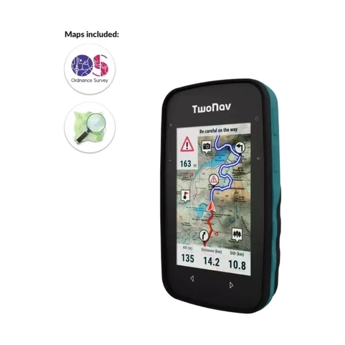
GPS TwoNav Cross Plus - TwoNav's smallest GPS. Compact and handy navigator in one hand. Multisport GPS receiver, ideal for both hiking and cycling. Cross Plus is a versatile GPS designed to offer maximum reliability and endurance for your mountain activit

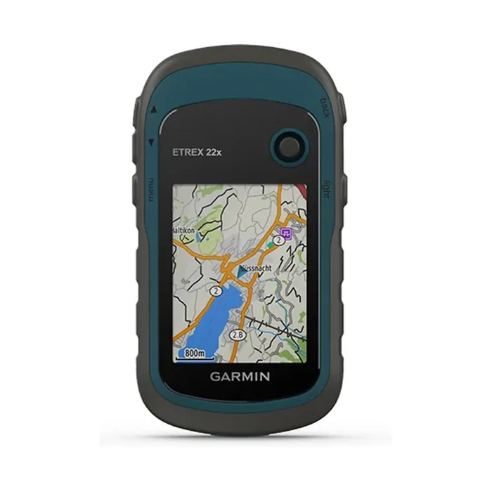
Explore Confidently with the Reliable Handheld GPS 2.2” sunlight-readable color display with 240 x 320 display pixels for improved readability Preloaded with TopoActive maps with routable roads and trails for cycling and hiking Support for GPS and GLONASS…