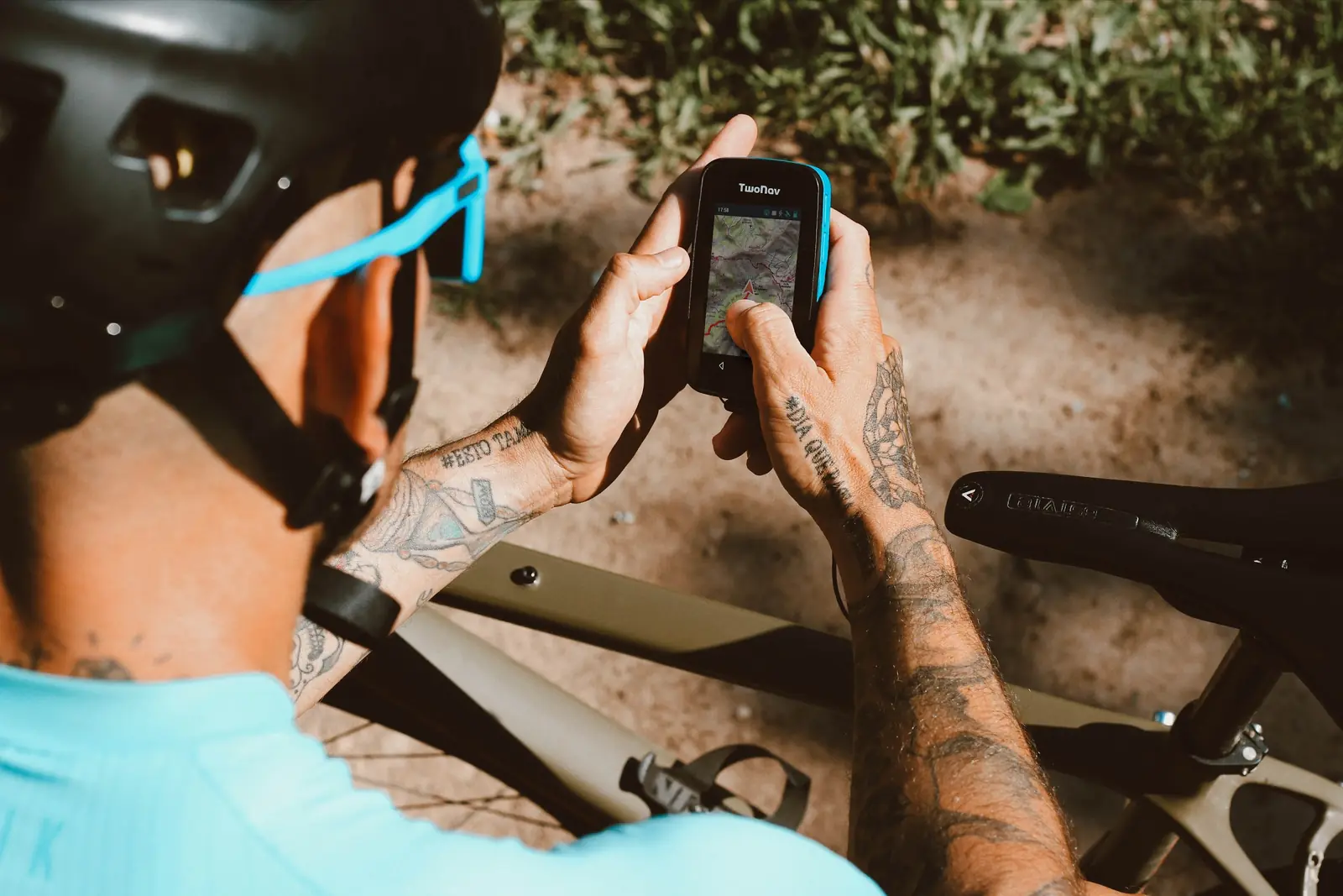
On a day ride a wrong turn costs twenty minutes. On a multi-day trip through hills with few villages it can cost the water stop, the place to sleep, or daylight. Navigation is the part of bikepacking worth planning at home, at a desk, with time. Here is how to approach it.
How should I plan the route?
Plan the route in a mapping tool on a computer, where you can see the whole thing at once, and export it as a track. GPX is the common format and almost every planner and GPS reads it. Split a long trip into one track per day: it is easier to follow, easier to change, and a corrupted file costs one day, not the whole trip.
Does my map cover the whole route?
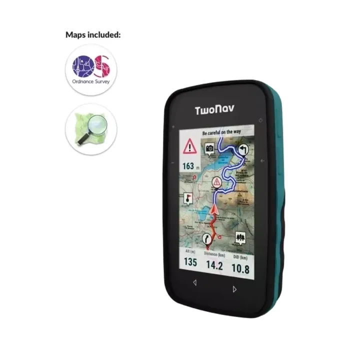
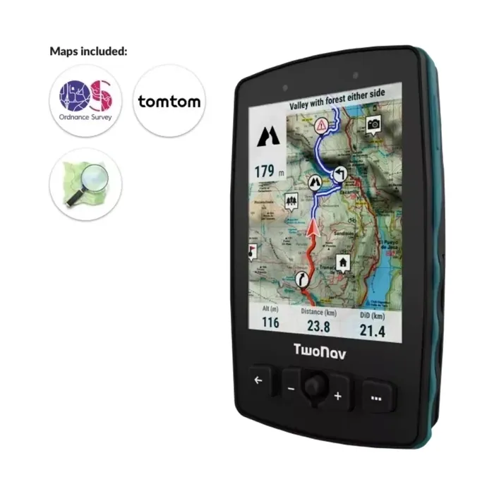
A track is a line; the map is what tells you where the line goes when it disagrees with the ground. Check that the map on your device covers the whole route, including the bail-out roads either side. Topographic maps show tracks, paths and contours that road maps leave out, and they need to be stored on the device for the stretches with no signal. Storage helps here: the TwoNav Cross Plus has 32 GB or 64 GB plus a memory card slot, and the Aventura 2 Plus has 32 GB plus microSD.
Which waypoints should I add?
Add waypoints for what the trip depends on: water, food, places to sleep, the last village before a long climb, and the points where you can leave the route if something goes wrong. In the hills, the gap between water sources is often the real constraint on a day's distance.
How much battery will the trip need?
Work out the longest stretch between sockets, then the riding hours in it, then add a margin. The manufacturer lists 20 hours for the Cross Plus, which charges over USB-C, so a power bank can top it up at a stop. The Aventura 2 Plus lists 36 hours on a removable 6000 mAh battery. Screen brightness and backlight time make a large difference to the real figure; we cover that in how to make a cycling GPS battery last.
Will the GPS survive the weather?
A trip of several days will see rain or dust. A device rated IP67 is dust-tight and tested for immersion up to one metre for 30 minutes; the Cross Plus and Aventura 2 Plus carry that rating and are tested to MIL-STD-810 for temperature, shock, water and vibration.
What if the GPS fails?
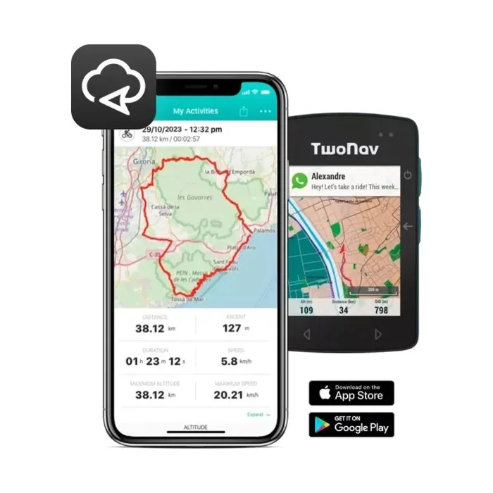
Any single device can fail, get lost or be dropped in a river. Load the same tracks and offline maps on your phone as a backup, keep it charged and off the handlebar, and tell someone at home the route and the day you expect to finish.
Which GPS suits bikepacking?
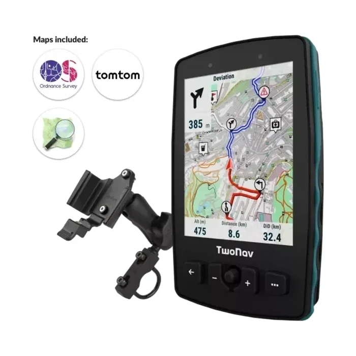
Our bikepacking GPS page sets out what a multi-day trip asks of a unit and compares the Cross Plus with the Aventura 2 Plus.