
The Global Maritime Distress and Safety System, GMDSS, is the internationally agreed framework under SOLAS Chapter IV for how a vessel in distress alerts rescue authorities and other shipping. Rather than mandating one fixed set of equipment for every vessel, GMDSS carriage requirements scale with the sea areas a vessel is certified to operate in, on the reasoning that a vessel further from shore-based VHF coverage needs a more independent means of raising an alarm.
Sea Area A1: VHF coverage
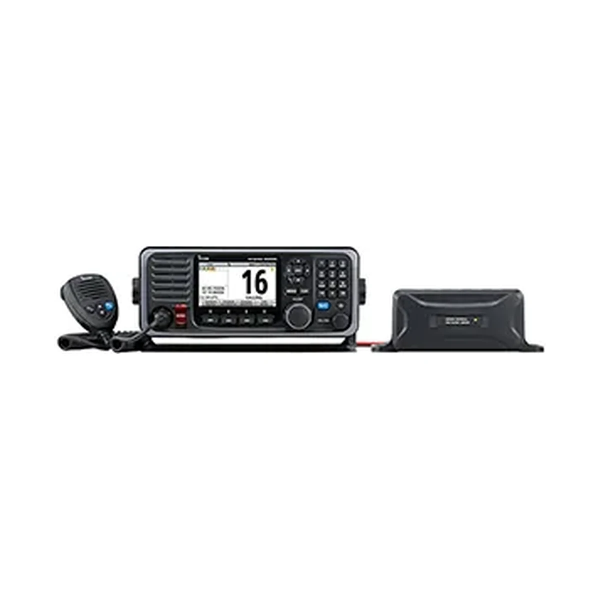
Sea Area A1 is defined as being within range of at least one shore-based VHF coast station providing continuous Digital Selective Calling alerting, typically extending roughly 20 to 30 nautical miles from the coast depending on the specific station network. A vessel restricted to A1 can meet its GMDSS carriage requirement primarily with VHF DSC equipment, such as the Icom GM600, a GMDSS VHF radio with Class A DSC that meets the EU's MED "Wheel Mark" requirements and ITU-R M.493-13 DSC.
Sea Area A2: MF coverage
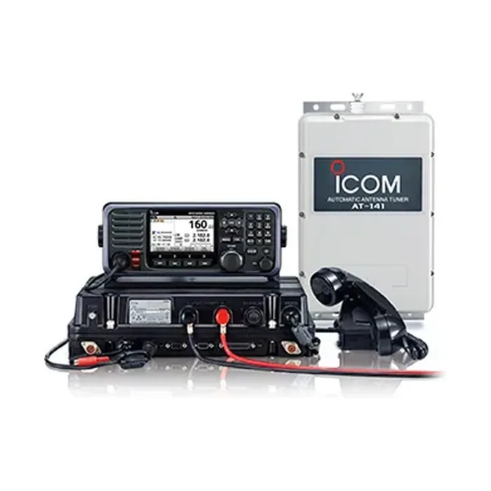
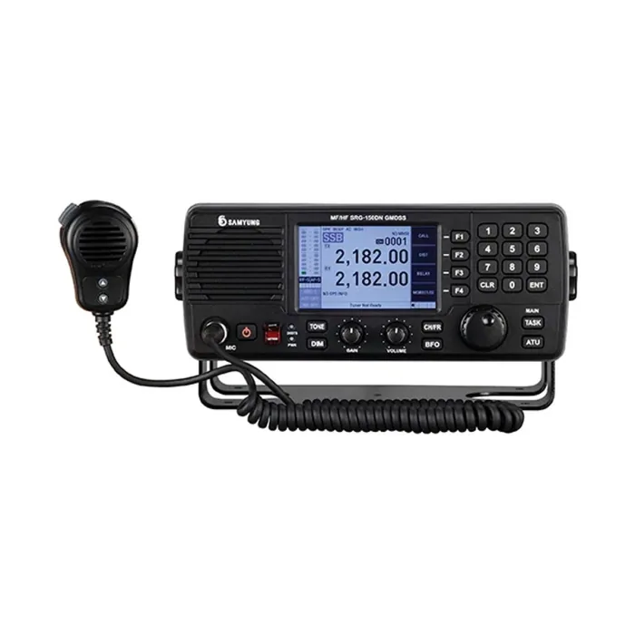
Sea Area A2 extends coverage further offshore, within range of at least one shore-based MF coast station providing continuous DSC alerting, generally out to around 100 to 150 nautical miles depending on the network, beyond VHF's practical range. A vessel certified for A2 needs MF DSC capability in addition to VHF, which is where an MF/HF transceiver with integrated DSC, such as the Icom GM800 or the Samyung SRG-150DN, becomes part of the required fit rather than an optional extra.
Sea Area A3: satellite coverage
Sea Area A3 covers the area within coverage of a geostationary maritime communication satellite system providing continuous alerting, which for most of the world's oceans excludes only the polar regions. A vessel operating in A3 needs a means of satellite distress alerting in addition to the VHF and MF/HF equipment already required for A1 and A2, since satellite coverage is what closes the gap left by shore-based VHF and MF stations once a vessel is genuinely offshore.
Sea Area A4: everywhere else
Sea Area A4 covers everything outside A1, A2 and A3, principally the polar regions where geostationary satellite coverage does not reach. Vessels certified for A4 need HF DSC and radiotelephony capability capable of reaching shore stations or other vessels across the full HF range, since satellite coverage cannot be relied upon at all in this area.
Why this matters for equipment specification
A vessel's actual GMDSS fit-out is determined by the highest sea area it is certified to operate in, not by where it happens to sail on a given voyage; a vessel certified for A3 must carry A3-appropriate equipment even on a coastal passage that never leaves A1 coverage. This is why confirming a vessel's certified sea area, set out in its safety radio certificate, is the necessary first step before specifying any GMDSS equipment, rather than working backward from a general sense of how far offshore the vessel typically operates.
What ASPL supplies against this framework
- VHF DSC for A1 coverage: the Icom GM600, meeting Class A DSC and MED Wheel Mark requirements.
- MF/HF DSC for A2 and beyond: the Icom GM800 and Samyung SRG-150DN, the latter also integrating NBDP telex, covered in more depth elsewhere in this series.
- Survival craft VHF, required regardless of sea area as part of a vessel's lifesaving appliance carriage: the Icom IC-GM1600 and IC-GM1600E, covered in more depth in the dedicated survival craft radio article elsewhere in this series.
Confirming the exact carriage requirement for a specific vessel's certified sea area, class and flag state is a job for the vessel's classification society and DG Shipping surveyor rather than a general summary; this article establishes the framework so that conversation starts from an informed position. ASPL supplies GMDSS equipment meeting SOLAS carriage requirements for commercial vessels and fishing fleets in India, and handles fitting, commissioning and crew handover.