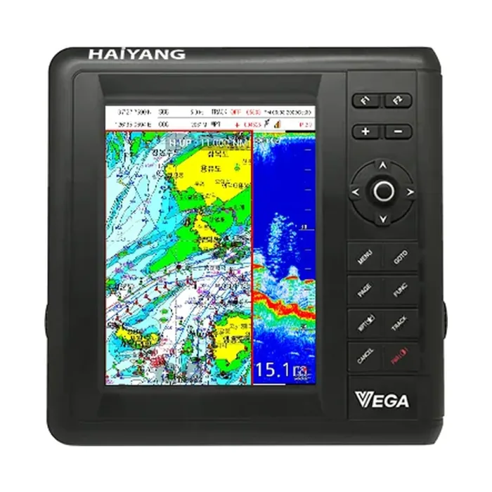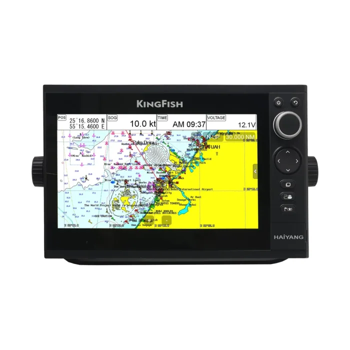
GarminMarine
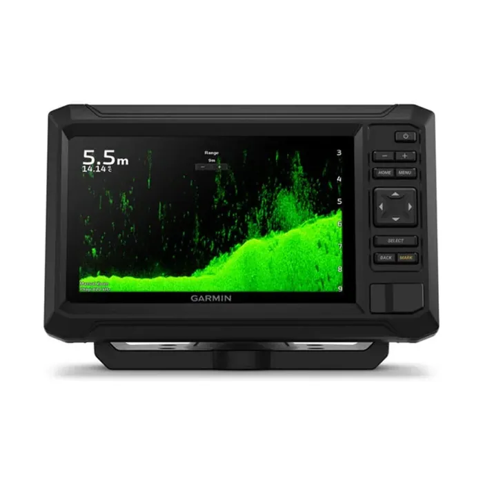
ECHOMAP UHD2 7" cv
A 6.1-inch keyed-button fishfinder/chartplotter combo with built-in CHIRP sonar and ClearVu scanning for boats up to 32 GB of chart storage.
Enquire →
One stop shop for complete navigation & communication solutions.
Haiyang
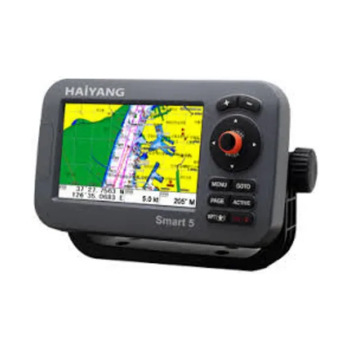
The Haiyang HD-50CF is a 5-inch color LCD fishfinder/GPS combo with dual-frequency 50/200 kHz sounding, up to 1.5kW output, and a multi-constellation GPS/GLONASS/Galileo receiver compliant with IMO Resolution MSC.112(73).
Technical
| Display Screen | 5 inch color LCD with LED backlight |
|---|---|
| Resolution | WVGA (800 x 480 pixels) |
| Power Supply | DC 12V ~ 36V (±10%), 7W |
| Operation Temperature (Display Unit) | -15°C ~ +50°C |
| Operation Temperature (Antenna Unit) | -25°C ~ +70°C |
| Performance Standard | IMO Resolution MSC.112(73) |
| Option | MicroSD, External GPS Antenna, Transducer |
| GNSS Receiver Capabilities | GPS L1 C/A code, GLONASS L10F, QZSS L1 C/A code, Galileo E1B/E1C/L1 |
| Number of Channel | 52 channel over |
| Horizontal Positioning Accuracy (Autonomous) | 2.5m (CEP 50%) |
| Sensitivity | Acquisition -148 dBm, Tracking -165 dBm, Reacquisition -162 dBm |
| Nav Update | 1Hz |
| Support | DGPS, SBAS (EGNOS, WAAS, MASA, GAGAN, GLONASS) |
| Display Method | Mercator projection |
| Display Mode | True motion/N/S/E/W up/Course up/Head up |
| Latitude Limits | Between 85°N to 85°S |
| Map Scale | 0.05NM to 1,500NM |
| Map Datum | WGS-84 |
| Waypoint | 100,000 points (16 colors and 16 icons selectable per point) |
| Track Point | 50,000 points (2 types) |
| Route | Max capacity 100 Routes (20 WPTs per Route, each with name tags of 8 alphanumeric characters) |
| Draw Point | 1,000 points |
| Area Name | 1,000 points |
| Chart Data | HY-MAP (Built-in or External)/C-MAP/Navionics |
| Output Data | NMEA-0183 |
| Input Data | NMEA-0183 |
| Alarm | Arrival, Anchor, XTE, Interval timer, Userline |
| Fishfinder Display Mode | Normal (single/dual-frequency), Bottom-lock, Bottom-zoom, Partial-zoom, A-scope |
| Fishfinder Frequency | 50 and 200 kHz |
| Fishfinder Output Power | 600W / 1.5kW |
| Range Speed (600W) | 2.5m ~ 600m |
| Range Speed (1,200W) | 2.5m ~ 1,500m |
| Image Speed | Fixed 8 speeds (4/1, 2/1, 1, 1/2, 1/4, 1/8, 1/16, 1/32) and stop |
| Interference Rejection | 3 levels |
| Noise Rejection | 30 levels |
| Function | Gain (auto/manual), Range (auto/manual), Shift (auto/manual), White/Black line, Support speed sensor, Water temperature, Time machine, Contrast |
Overview
The Haiyang HD-50CF combines a 5 inch color LCD (WVGA, 800 x 480) chartplotter with a dual-frequency 50 and 200 kHz fishfinder rated at 600W/1.5kW output, giving depth ranges from 2.5m out to 1,500m. Navigation is handled by a 52-plus channel GNSS receiver supporting GPS, GLONASS, QZSS, and Galileo with DGPS/SBAS augmentation, and the unit stores up to 100,000 waypoints, 50,000 track points, and 100 routes, with chart support for HY-MAP, C-MAP, and Navionics. It meets IMO Resolution MSC.112(73) and is built for a wide DC 12V to 36V power range, with the antenna unit rated from -25°C to +70°C for marine use.
Questions
The HD-50CF's GNSS receiver tracks GPS L1 C/A code, GLONASS L1OF, QZSS L1 C/A code and Galileo E1B/E1C/L1 across more than 52 channels, with DGPS and SBAS (EGNOS, WAAS, MSAS, GAGAN, GLONASS) augmentation support.
It has a 5-inch color LCD with LED backlight at WVGA resolution (800 x 480 pixels).
The built-in fishfinder runs at 50 and 200 kHz with 600W/1.5kW output power. Range is 2.5m to 600m at 600W, extending to 2.5m to 1,500m at 1,200W.
It supports HY-MAP (built-in or external), C-MAP, and Navionics chart data.
Related
A 6.1-inch keyed-button fishfinder/chartplotter combo with built-in CHIRP sonar and ClearVu scanning for boats up to 32 GB of chart storage.
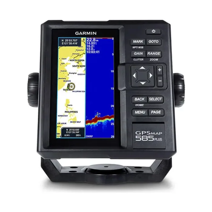
Find fishing spot, Catch fish with the Power of Garmin CHIRP Key Features: The Power of Garmin CHIRP Clearest Scanning Sonar on the Water With the Best Maps on the Water Supporting Quickdraw Contours: Create Your Own HD Maps Compatible with GPS, GLONASS and…
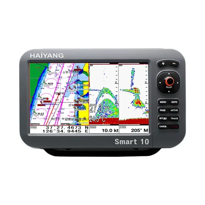
A 10.4 inch chartplotter and fishfinder with thru hull transducer and internal or external GPS antenna.
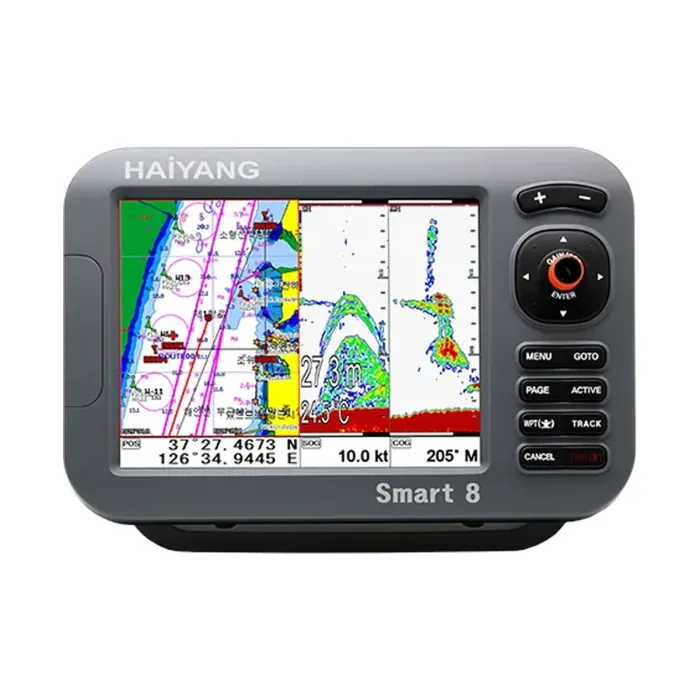
The Haiyang HD 880 CF is an 8-inch SVGA chartplotter/fishfinder combo with multi-constellation GNSS and IMO Resolution MSC.112(73) compliance.
Learn more
This site uses only the cookies required for it to run, nothing for tracking or advertising. See our privacy policy.