
GarminMarine
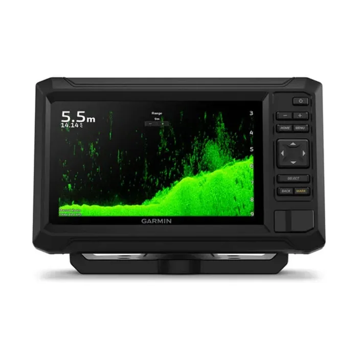
ECHOMAP UHD2 7" cv
A 6.1-inch keyed-button fishfinder/chartplotter combo with built-in CHIRP sonar and ClearVu scanning for boats up to 32 GB of chart storage.
Enquire →
One stop shop for complete navigation & communication solutions.
Haiyang
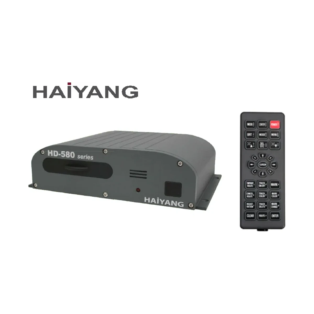
The Haiyang HD-580CF is an XGA-resolution (1024x768) fishfinder/GPS combo controller with multi-constellation GNSS positioning and IMO Resolution MSC.112(73) compliance.
Technical
| Product Name | XGA GPS Combo Controller |
|---|---|
| Resolution | 1024 x 768 pixels |
| Power Supply | DC 12V ~ 36V (±10%) |
| Operation Temperature (Unit) | -15°C ~ +50°C |
| Operation Temperature (Antenna Unit) | -25°C ~ +70°C |
| Performance Standard | IMO Resolution MSC.112(73) |
| GNSS Receiver Capabilities | GPS L1 C/A code, GLONASS L10F, QZSS L1 C/A code, Galileo E1B/E1C/L1 |
| Number of Channel | 52 channel over |
| Horizontal Positioning Accuracy (Autonomous) | 2.5m (CEP 50%) |
| Sensitivity | Acquisition -148 dBm, Tracking -165 dBm, Reacquisition -162 dBm |
| Nav Update | 1Hz |
| Support | DGPS, SBAS (EGNOS, WAAS, MASA, GAGAN, GLONASS) |
| Display Method | Mercator projection |
| Display Mode | True motion/N/S/E/W up/Course up/Head up |
| Latitude Limits | Between 85°N to 85°S |
| Map Scale | 0.05NM to 1,500NM |
| Map Datum | WGS-84 |
| Waypoint | 100,000 points (16 colors and 16 icons selectable per point) |
| Track Point | 50,000 points (2 types) |
| Route | Max capacity 100 Routes (20 WPTs per Route, each with name tags of 8 alphanumeric characters) |
| Draw Point | 1,000 points |
| Area Name | 1,000 points |
| Chart Data | HY-MAP (Built-in or External)/C-MAP/Navionics |
| Output Data | NMEA-0183 |
| Input Data | NMEA-0183 |
| Alarm | Arrival, Anchor, XTE, Interval timer, Userline |
Overview
The Haiyang HD-580CF is an XGA GPS combo controller with a 1024 x 768 pixel display and a 52-plus channel GNSS receiver covering GPS, GLONASS, QZSS, and Galileo signals, supported by DGPS and SBAS augmentation for accurate fixes. It manages up to 100,000 waypoints, 50,000 track points, and 100 routes, and reads HY-MAP, C-MAP, and Navionics chart data over a Mercator projection display. The unit meets IMO Resolution MSC.112(73), runs on a DC 12V to 36V supply, and its antenna unit is rated from -25°C to +70°C for marine environments.
Questions
The HD-580CF is an XGA GPS combo controller with a display resolution of 1024 x 768 pixels.
The HD-580CF's GNSS receiver tracks GPS L1 C/A code, GLONASS L1OF, QZSS L1 C/A code and Galileo E1B/E1C/L1 across more than 52 channels, with DGPS and SBAS (EGNOS, WAAS, MSAS, GAGAN, GLONASS) augmentation support.
It supports HY-MAP (built-in or external), C-MAP, and Navionics chart data.
Related
A 6.1-inch keyed-button fishfinder/chartplotter combo with built-in CHIRP sonar and ClearVu scanning for boats up to 32 GB of chart storage.
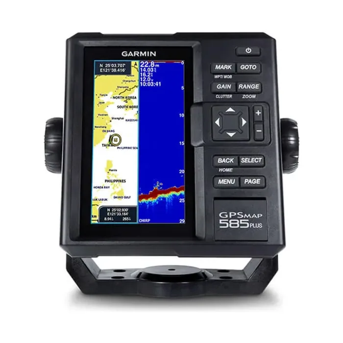
Find fishing spot, Catch fish with the Power of Garmin CHIRP Key Features: The Power of Garmin CHIRP Clearest Scanning Sonar on the Water With the Best Maps on the Water Supporting Quickdraw Contours: Create Your Own HD Maps Compatible with GPS, GLONASS and…
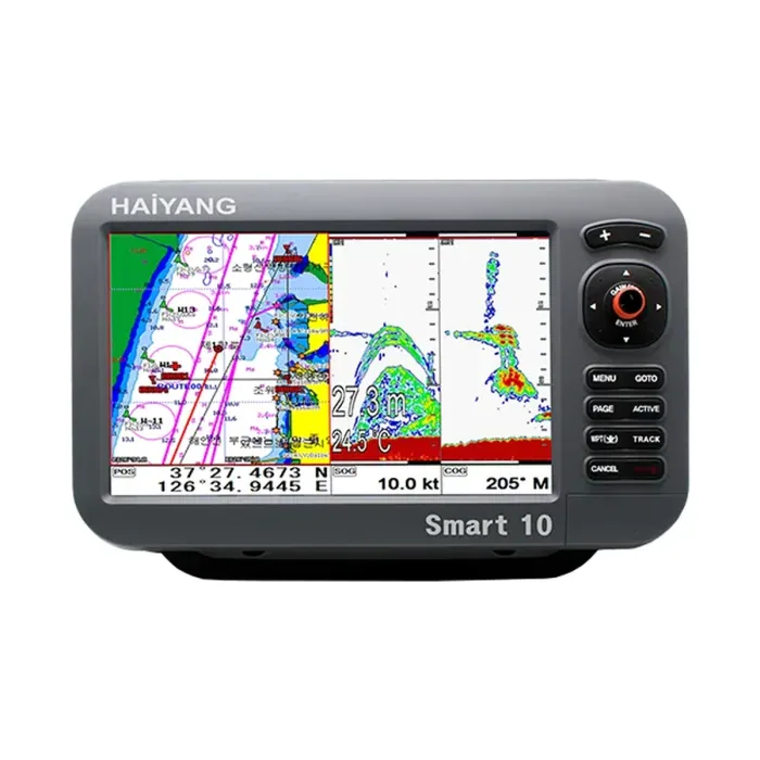
A 10.4 inch chartplotter and fishfinder with thru hull transducer and internal or external GPS antenna.
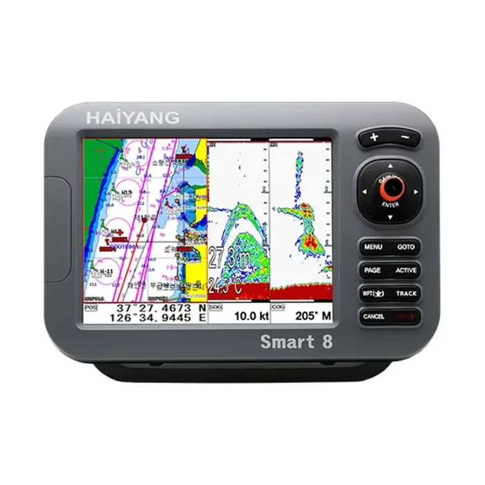
The Haiyang HD 880 CF is an 8-inch SVGA chartplotter/fishfinder combo with multi-constellation GNSS and IMO Resolution MSC.112(73) compliance.
This site uses only the cookies required for it to run, nothing for tracking or advertising. See our privacy policy.