
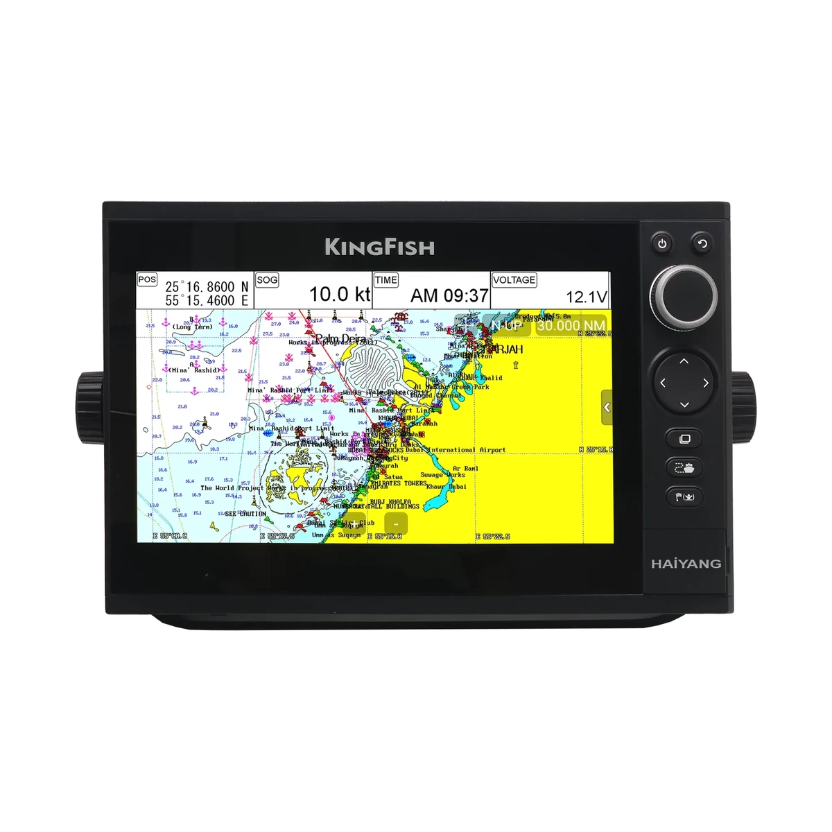
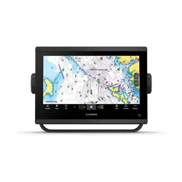
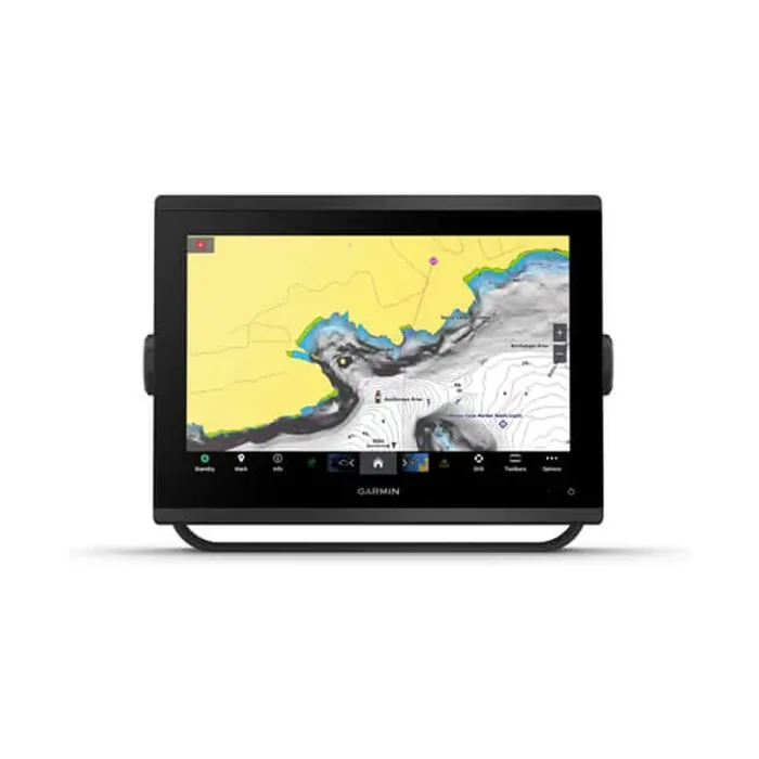
Almost every marine display is still called a GPS by the people using it, but the receiver inside a modern chartplotter is usually listening to more than one satellite system. The spec sheets reflect this. The Garmin GPSMAP 923xsv lists its receiver as GPS, GLONASS and Galileo at 10 Hz with WAAS support. The Haiyang KS-101C lists GPS L1 C/A code, GLONASS L1OF, QZSS L1 C/A code and Galileo E1B/E1C/L1. The Garmin GPSMAP 585Plus lists GPS, GLONASS and BeiDou. These are not marketing variations on the same thing, and it is worth knowing what the differences buy.
GPS, GLONASS and the others are constellations. GNSS is the category
GNSS, global navigation satellite system, is the umbrella term. GPS is the United States constellation and the oldest of them, broadcasting its civil signal on L1 at 1575.42 MHz. GLONASS is the Russian constellation. It differs from GPS in two ways that matter to a receiver designer: its satellites sit in orbital planes inclined at about 64.8 degrees against roughly 55 degrees for GPS, and its legacy L1 signals use frequency division, meaning each satellite transmits on its own slightly different frequency in a band around 1602 MHz rather than sharing one frequency as GPS satellites do. Galileo is the European constellation and broadcasts its E1 signal in the same part of the spectrum as GPS L1, which makes combined GPS and Galileo reception relatively straightforward.
Two more appear on marine spec sheets and are regional rather than global. BeiDou is the Chinese system and its coverage is strongest across the Asia-Pacific region. QZSS is a Japanese regional system whose satellites are placed in orbits that keep them high in the sky over Asia and Oceania for long periods. Both are listed on Haiyang receivers such as the HS-55C, which quotes GPS/QZSS, GLONASS, Galileo and BeiDou.
What tracking more constellations actually does
A position fix needs signals from at least four satellites. Beyond that minimum, more satellites in view improves the geometry of the solution and shortens the time it takes to reacquire a fix after the signal is broken. On open water with a clear sky that rarely matters, because a GPS-only receiver already sees plenty of satellites. It matters near cliffs and breakwaters, alongside in a port surrounded by cranes and steel, in a wheelhouse where the antenna does not have a fully clear view, and at the moment of switch-on after the set has been off for weeks. This is why multi-constellation support is worth having even though a single-constellation receiver is not, in ordinary conditions, inaccurate.
What it does not do is transform quoted accuracy. The Haiyang HD-series receivers quote 2.5 m horizontal accuracy at CEP 50 percent, which is typical of an autonomous consumer-grade marine receiver, and adding constellations does not by itself move that figure much. Consistency and availability improve before raw accuracy does.
SBAS and DGPS, including GAGAN
Augmentation is a separate mechanism from constellation count. A satellite-based augmentation system uses ground reference stations to measure the errors in the satellite signals, chiefly ionospheric delay and satellite clock drift, and broadcasts corrections through geostationary satellites for receivers to apply. WAAS is the North American system, EGNOS the European one, and GAGAN is India's, developed jointly by ISRO and the Airports Authority of India and operational since 2015. GAGAN was built primarily for civil aviation over the Indian flight information region, though its correction broadcast is available to any capable receiver in the footprint, and marine navigation is among the applications commonly cited for it.
The Haiyang HD and KS series list SBAS support explicitly, naming EGNOS, WAAS and GAGAN among the systems supported, alongside DGPS. Garmin's marine displays quote WAAS support. Whether a given receiver actually applies GAGAN corrections in Indian waters depends on the unit's firmware and its SBAS satellite selection, so it is worth confirming with the specific model rather than assuming that a listed capability is enabled by default.
Reading the receiver line on a spec sheet
- Which constellations are named. GPS alone, GPS plus Galileo as on the ECHOMAP UHD2 7" cv, or the fuller GPS, GLONASS, QZSS and Galileo set on the Haiyang HD range.
- Update rate. The Haiyang HD-880C and most of the HD series update at 1 Hz, the KS-101C goes up to 10 Hz, and the Garmin GPSMAP 923xsv and 1223xsv run at 10 Hz. A faster rate gives a smoother heading and speed readout at planing speeds and during close manoeuvring.
- Augmentation. Whether DGPS and SBAS are supported, and which SBAS systems are named.
- Channel count. Fifty or more channels, as on these units, is enough to track several constellations at once.
One system that does not appear on the receiver line of any of these units is NavIC, India's own regional constellation, which broadcasts on different frequencies from the L1 signals these receivers are built around. If NavIC compatibility is a procurement requirement, it needs to be specified and confirmed rather than inferred from a multi-constellation label.