
Digital YachtMarine Network & Interface
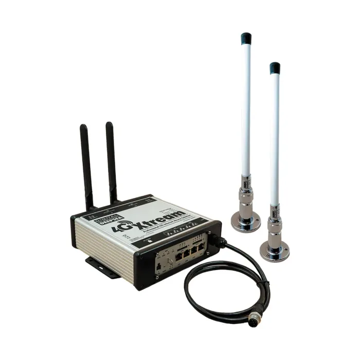
4G Xtream
The Digital Yacht 4G Xtream is a marine 4G LTE Cat 6 router with dual-band WiFi and dual MIMO antennas for onboard internet connectivity.
Enquire →
One stop shop for complete navigation & communication solutions.
Catalogue
AIS transponders and receivers, NMEA interfacing, onboard connectivity, marine PCs, sensors and navigation software.
See also Marine.
Catalogue
Marine Network & Interface · Showing 39 of 39 products
The Digital Yacht 4G Xtream is a marine 4G LTE Cat 6 router with dual-band WiFi and dual MIMO antennas for onboard internet connectivity.
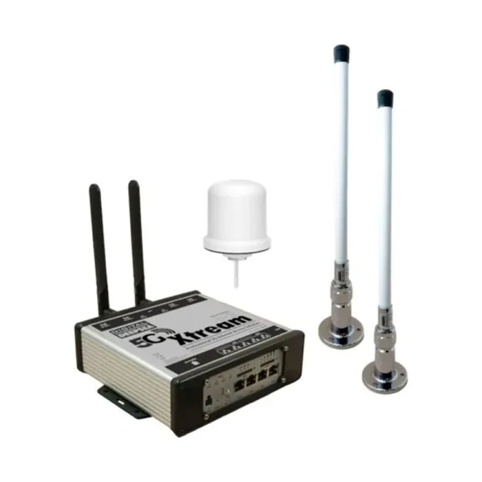
The Digital Yacht 5G Xtream Router is a marine-grade 5G/4G dual-SIM router with dual-band WiFi, four LAN ports, and IPX4 protection for onboard internet connectivity.
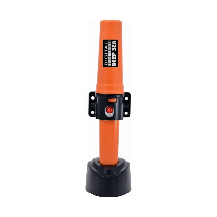
The Digital Yacht AIB1000 is a certified Class B AIS transponder with a self-contained internal battery offering up to five days of standby use.
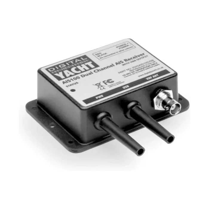
“Perfect for PC based navigation systems with USB drivers for PC, MAC and linux.”
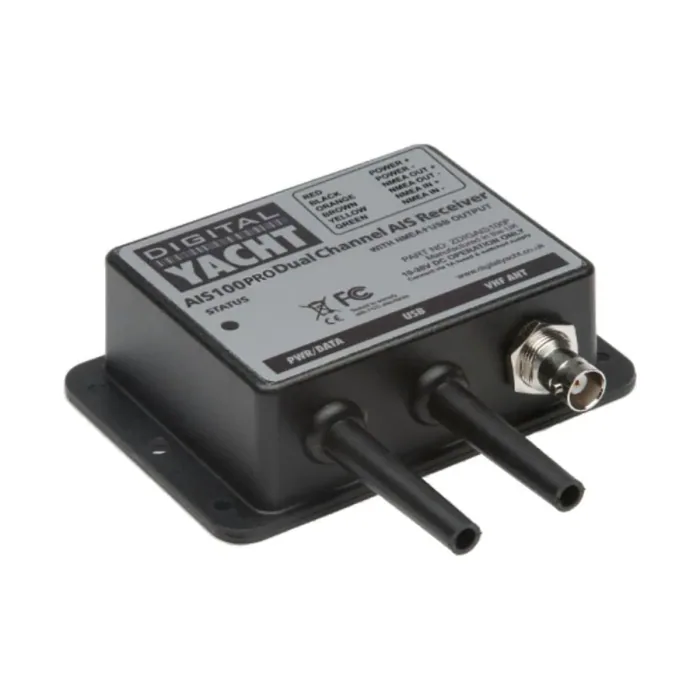
“Combination NMEA and USB connections for PC and plotter based systems. Also features NMEA input and inbuilt multiplexer.”
“AISConfig allows your mobile Android phone or tablet to wirelessly connect to the latest range of Digital Yacht Class B AIS Transponders.”
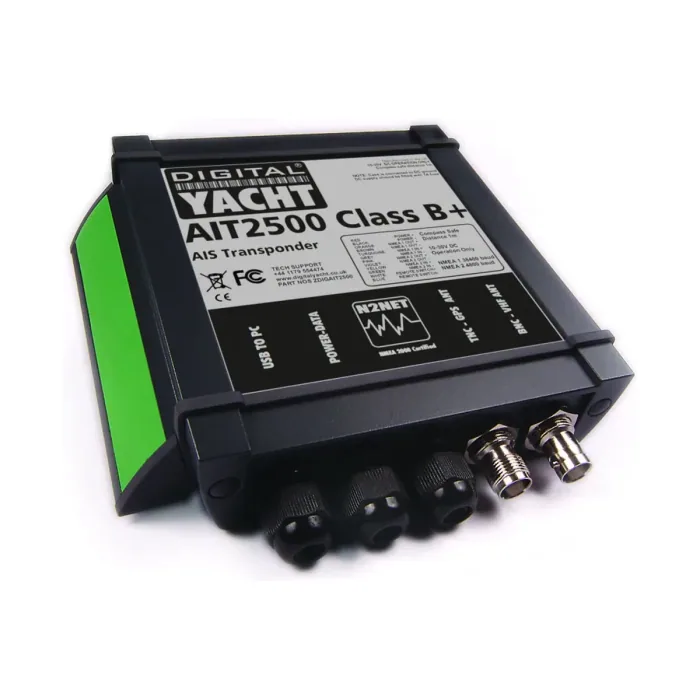
“The AIT2500 is a full function Class B+ SOTDMA AIS transponder with NMEA 0183, NMEA 2000 and USB data outputs. It is supplied with a GPS antenna.”
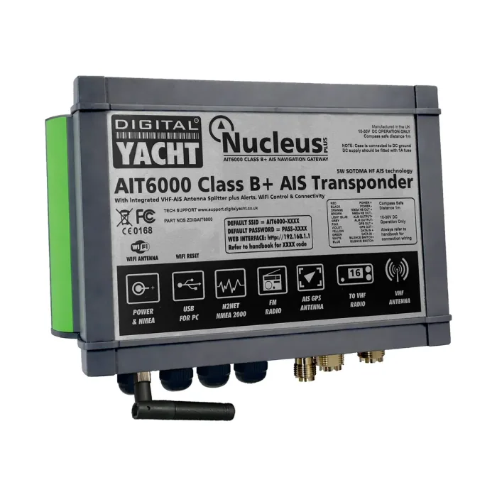
Digital Yacht's flagship Class B SOTDMA transponder, with an integral VHF splitter, NMEA 2000 and Wi-Fi output, and configurable alarms.
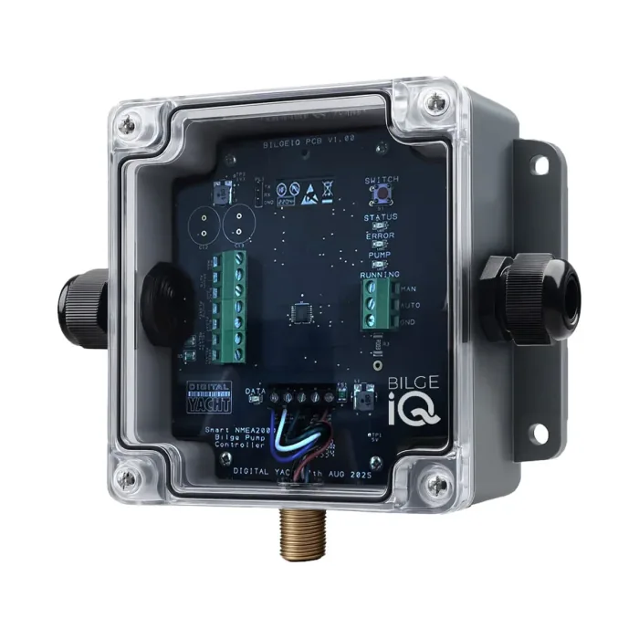
The Digital Yacht Bilge IQ is a smart WiFi and NMEA 2000 bilge pump monitor that tracks pump activity, current draw, and fault conditions with remote access.
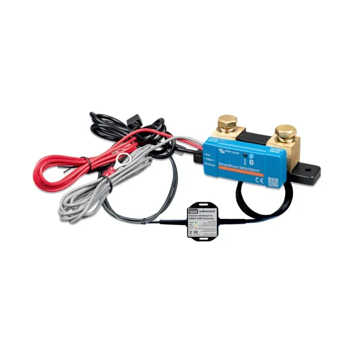
The Digital Yacht BM100 is a complete NMEA 2000 battery monitoring package built around a Victron SmartShunt and VE.Direct interface.
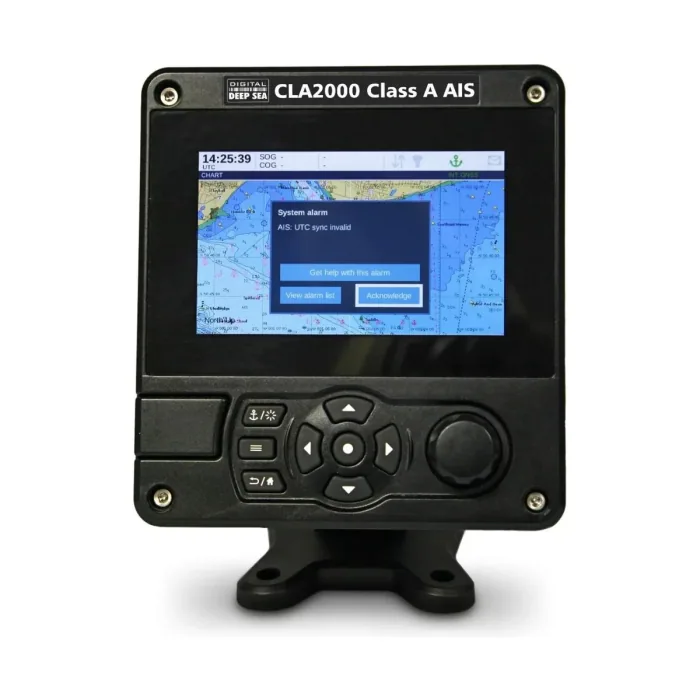
“CLA2000 is the ultimate SOLAS and inland waterway globally approved Class A AIS transponder with a full integrated 5” hi-res color display. “ Owner Manual
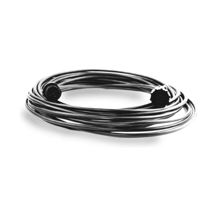
A 10 m pilot plug extension cable that extends the NMEA 0183 wiring rather than the USB.
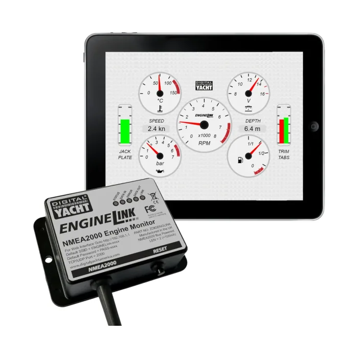
The Digital Yacht ENGINELink is a wireless gateway that displays NMEA 2000 engine data such as RPM, voltage, and temperature through a built-in web interface.
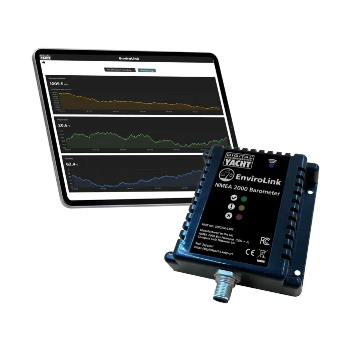
The Digital Yacht EnviroLink is an NMEA 2000 marine weather station measuring atmospheric pressure, temperature, and humidity.
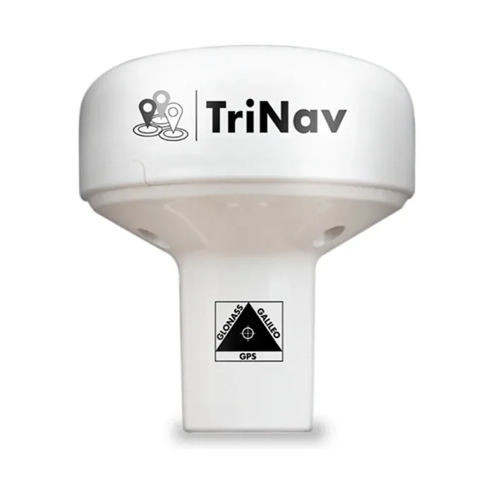
The Digital Yacht GPS160 is a 72-channel multi-GNSS positioning receiver with sub-1m typical accuracy, available in NMEA 0183, NMEA 2000, wireless, and USB interface variants.
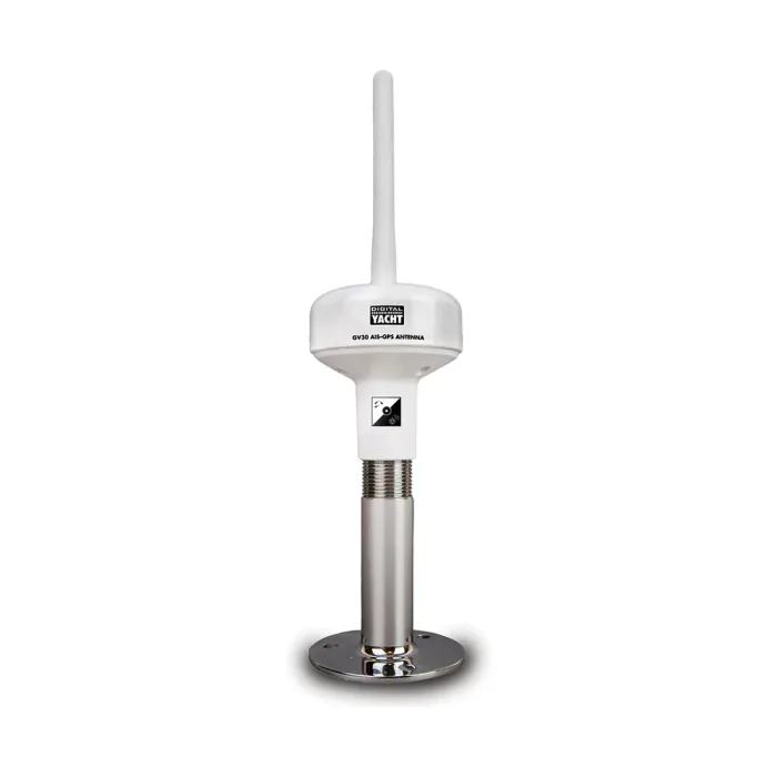
“Combination AIS/VHF and GPS antenna for Class B transponders which makes for a super quick and high performance installation.”
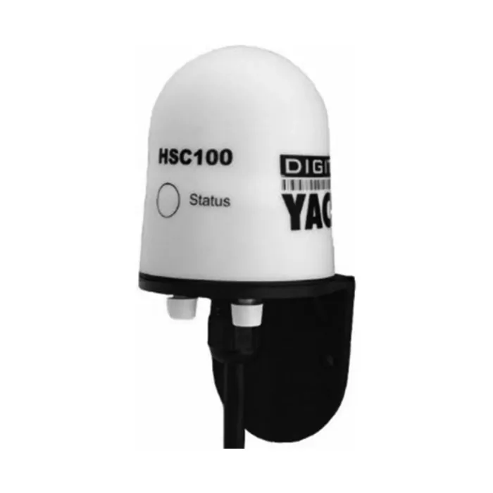
“Fluxgate compass with auto calibration and fast heading output for MARPA or course up radar stabilisation.”
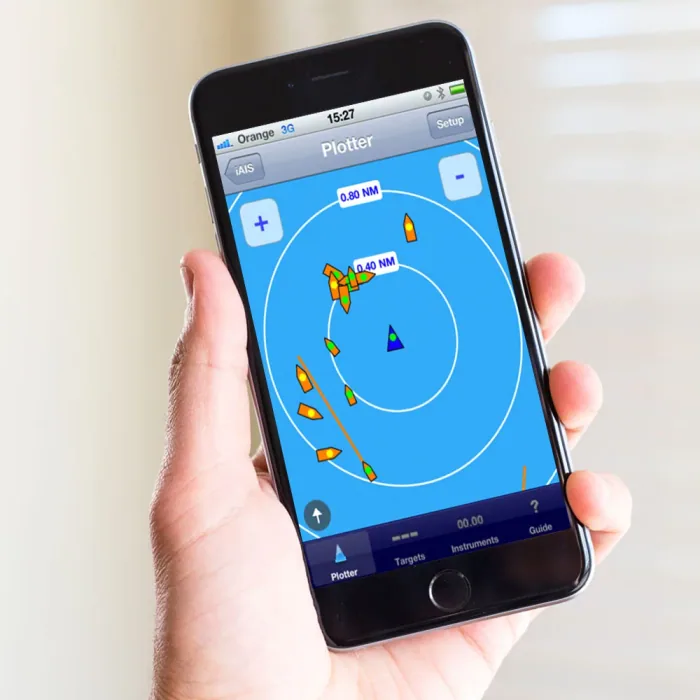
“iAIS is a simple AIS target plotter designed for use with Digital Yachts AIS with WiFi or any of our other Wireless NMEA products if they are connected to an AIS system.”
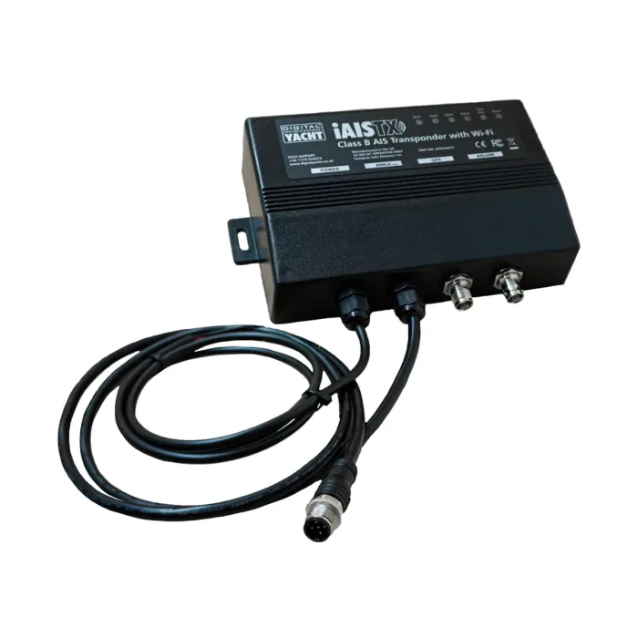
The Digital Yacht iAISTX Plus is a Class B+ 5W AIS transponder with built-in WiFi and NMEA 2000 output.
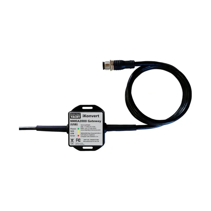
“One NMEA2000 to NMEA0183 Gateway/Converter for all your data needs”
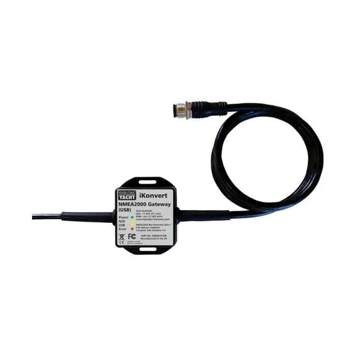
“One NMEA2000 Gateway/Converter for all your data needs”
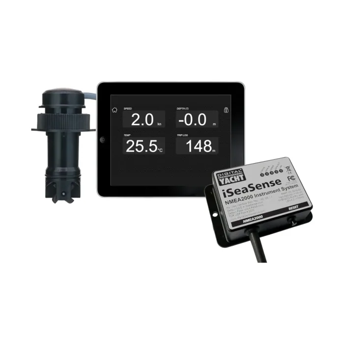
The Digital Yacht iSeaSense Wireless Speed Depth Temp Pack is an NMEA 2000 sensor and WiFi gateway delivering speed, depth, and temperature data to navigation apps.
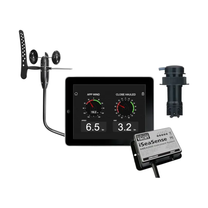
The Digital Yacht iSeaSense ISSPK2 is a wireless NMEA 2000 sensor pack combining speed, depth, temperature, and wind data with WiFi output for navigation apps.
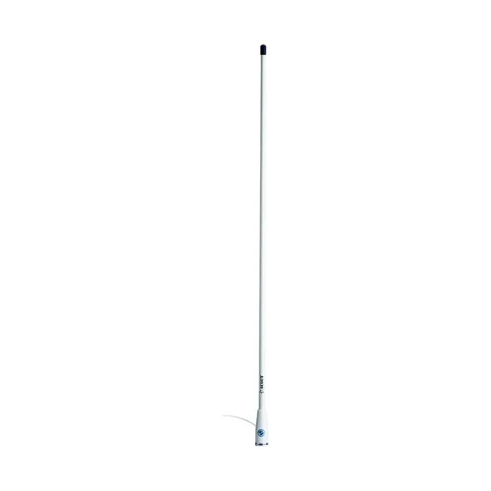
“The KS30 is a 1m tuned AIS VHF antenna to fit all Digital Yacht AIS receivers and transponders.”
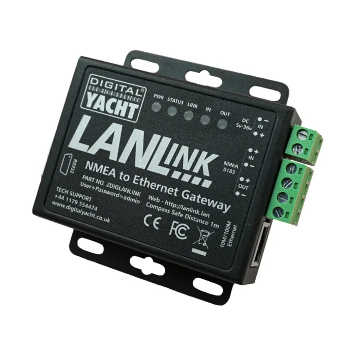
The Digital Yacht LanLink is an NMEA 0183 to Ethernet gateway that bridges boat instrumentation to a network using TCP/IP or UDP.
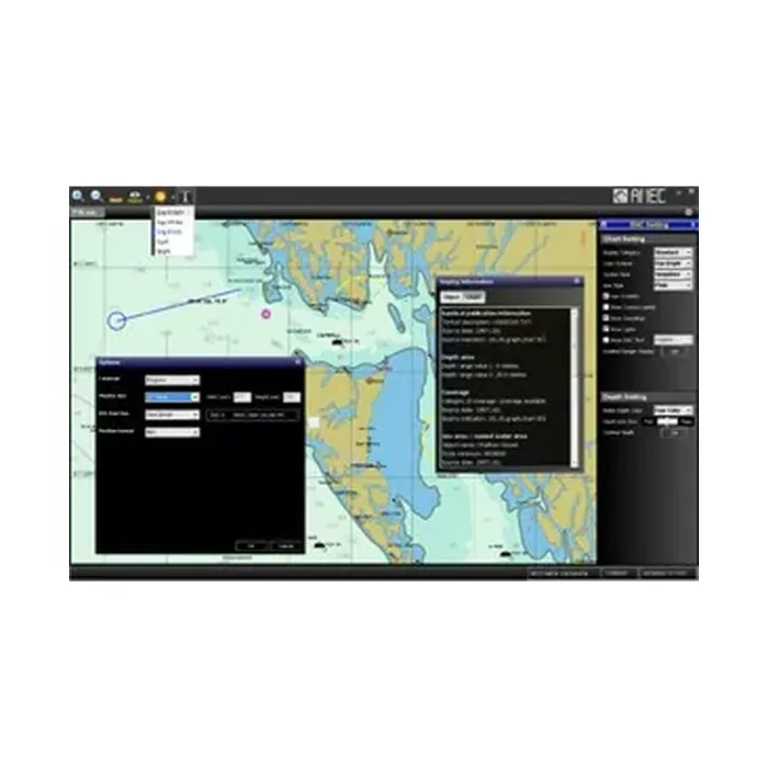
NaviPro ECS is AMEC's Windows-based electronic charting software, running on systems as modest as a 500 MHz processor with 128 MB of memory.
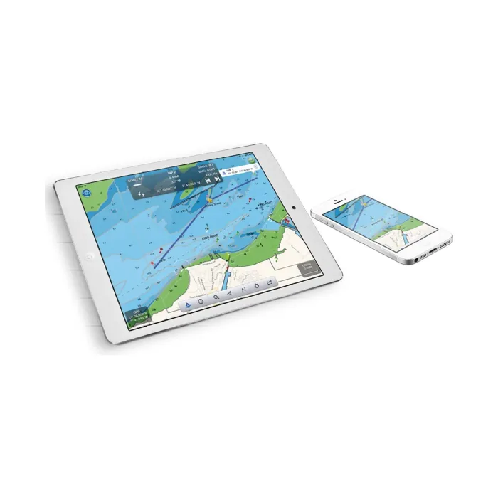
“NavLink is a low cost app designed for use with an iPhone or iPad. It transforms your iPad into a full function chart plotter with detailed electronic charts and an overlay of your boat's position, track and heading.”
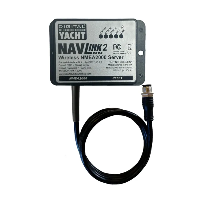
NavLink 2 is a compact Digital Yacht NMEA interfacing device weighing 192 g in a 105 x 72 x 32 mm enclosure.
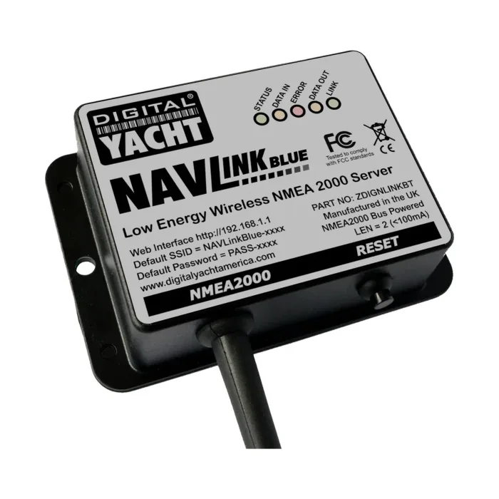
The Digital Yacht NAVLink Blue is a Bluetooth-to-NMEA 2000 interface that gathers temperature, humidity, and pressure data from up to 16 wireless Ruuvi sensors.
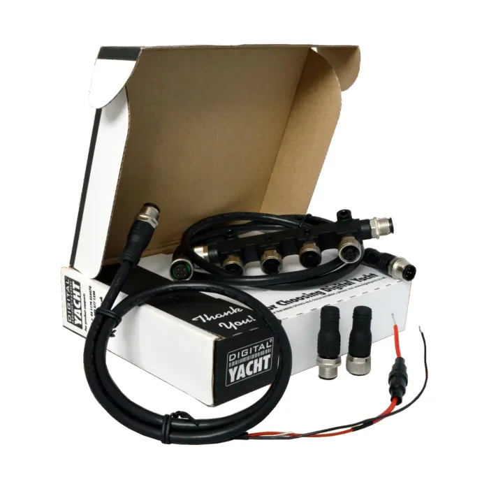
“A simple and low-cost NMEA 2000 starter kit which allows for up to 3 devices to interconnect.”
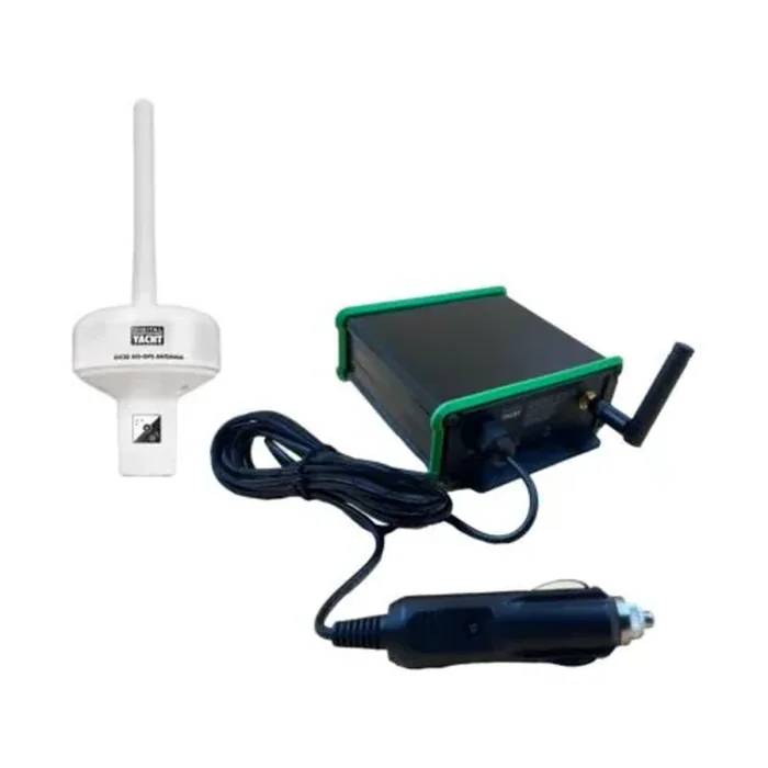
A portable, removable Class B AIS transponder from Digital Yacht, built to move between vessels rather than stay permanently installed.
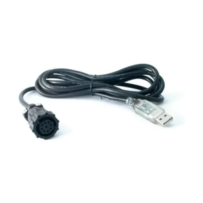
“Easy PC connections from a Class A AIS to a PC or MAC.”
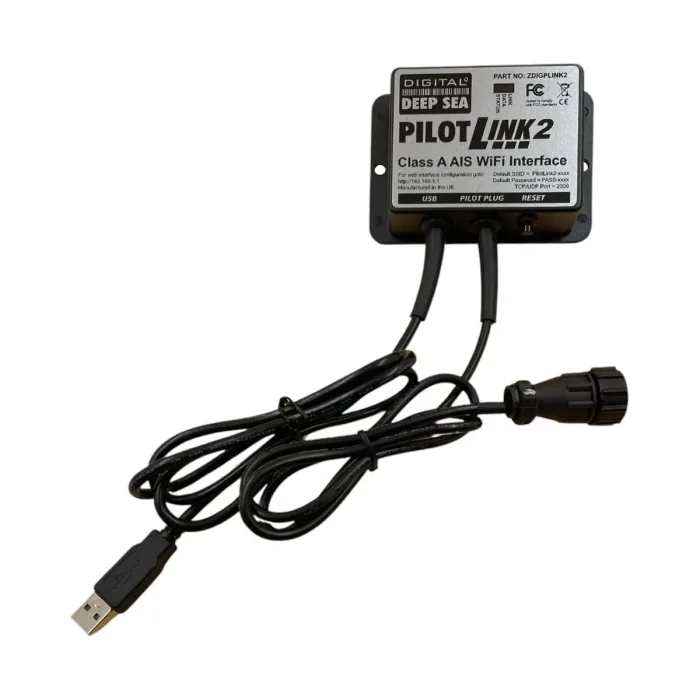
The Digital Yacht PilotLINK2 is a USB-powered WiFi gateway that connects a Pilot Plug to hundreds of navigation apps including Navionics and iSailor.
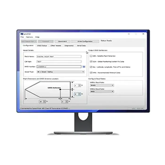
ProAIS2 is AIS display and monitoring software from Digital Yacht for viewing and managing AIS targets on a PC.
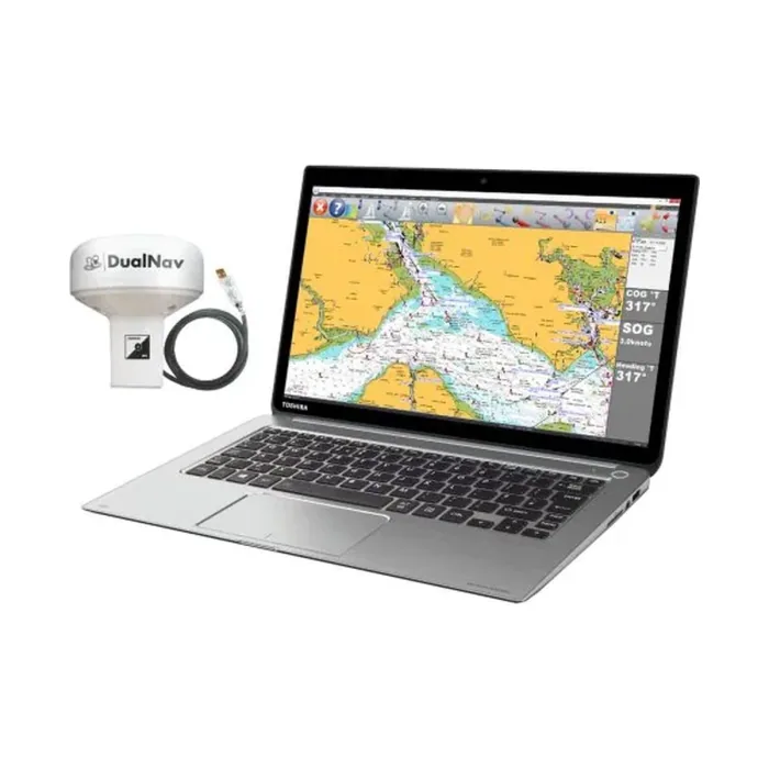
“SmarterTrack Express is a new navigation package which includes the SmarterTrack navigation software and the GPS150 with USB.”
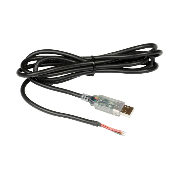
“Get NMEA data into your PC or MAC with this super stable interface.”
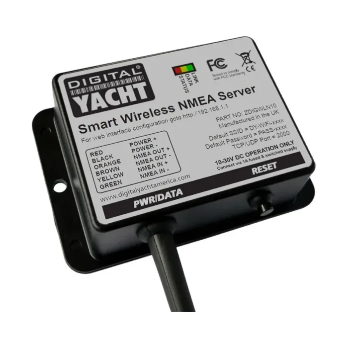
“This smart NMEA to WiFi gateway allows tablets & mobile devices to connect to existing on board GPS, AIS and instrument systems.”
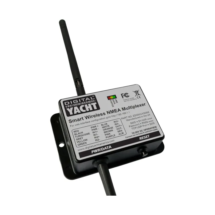
“The WLN30 is a smart NMEA to WiFi Multiplexer designed to connect your smart phone and other wireless devices to your boat’s navigation systems. It features three NMEA0183 inputs and easy web interface configuration.”
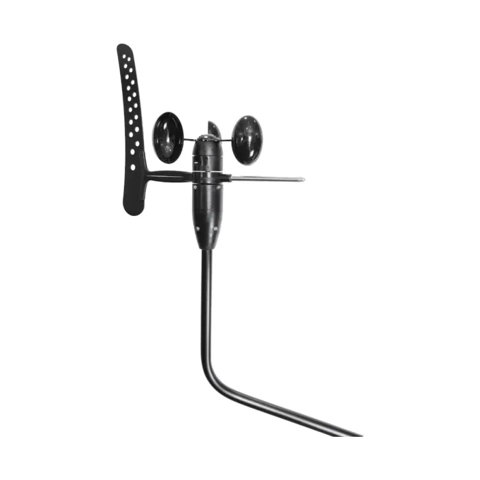
“Rugged and Cost Effective NMEA0183 Wind Transducer”
AIS transponders and receivers, NMEA 0183 and NMEA 2000 interfacing, onboard 4G and Wi-Fi connectivity, marine PCs, navigation sensors and charting software. This is the systems side of a vessel: the equipment that makes navigation, AIS and autopilot talk to each other. ASPL supplies and integrates the full Digital Yacht and AMEC ranges in India.
This category covers two things a working vessel's electronics depend on: AIS (Automatic Identification System), a VHF-based tracking system that lets vessels broadcast their identity, position, course and speed to nearby ships and shore stations and receive the same from everyone else in range, and the NMEA networking, interfacing and connectivity gear that gets that data, and every other instrument's data, onto a chartplotter or display where it's actually useful. AIS identifies vessels by name and doesn't need line of sight the way radar does, and works alongside radar rather than instead of it: together they give a bridge team both a plotted target's identity (AIS) and an independent, transponder-free detection of anything nearby (radar), the practical picture COLREGS, the International Regulations for Preventing Collisions at Sea, assumes a vessel is keeping when assessing collision risk. None of that reaches a display without the wiring, protocol translation and connectivity layer, NMEA 0183 and NMEA 2000 interfacing, converters and gateways, multiplexers and splitters, plus 4G/Wi-Fi routers and marine PCs, that ties a GPS, AIS, autopilot, chartplotter and instruments into one coherent system.
An AIS unit combines a GNSS receiver (for position) with a dedicated VHF transceiver operating on two international AIS channels (161.975 MHz and 162.025 MHz). It transmits a short data burst on a fixed schedule, more often at higher speed or when turning, and every other AIS-equipped vessel or shore station within VHF range receives it and plots it on their own chartplotter or dedicated AIS display. Getting that data, and everything else on board, onto that display is a separate job: NMEA 0183 is an older point-to-point serial standard where one "talker" device sends data down a pair of wires to one or more "listener" devices at a fixed baud rate, commonly 4,800 bps. NMEA 2000 replaces this with a shared CAN-bus backbone, a single cable run every device connects to via short drop cables, so any device on the bus can both send and receive without being wired directly to every other device. Because the two protocols use different wiring, voltage and data formats, connecting an older 0183 instrument to a newer 2000 network usually needs a converter or gateway in between, and mixing multiple 0183 talkers onto one line needs a multiplexer.
Two things matter more than anything else in an AIS install: the VHF antenna needs height and clear line of sight for range, and the GNSS antenna needs an unobstructed view of the sky. Mounted under a hardtop or near tall structures, position fixes (and therefore your reported position) will suffer. Power should come from a dedicated, adequately fused circuit rather than shared with other electronics, since a transponder draws current on every transmit burst. For the network carrying that data onward, an NMEA 2000 backbone runs the length of the boat, with each device connected via a short drop cable tapped into it rather than wired directly to other devices, and terminated with a resistor at each of its two physical ends, no more and no fewer, or the bus will suffer data errors. Every device on the bus draws current from the network's power budget, so check the combined draw against what the backbone's power source can supply, feeding power in from a single well-fused point. For NMEA 0183, keep talker-to-listener wiring runs reasonably short, respect the standard's polarity (swapped wires are a common cause of a no-data fault), and avoid connecting two talkers to the same listener input without a multiplexer, which will corrupt both data streams.
It depends on vessel class and voyage type. SOLAS Chapter V, Regulation 19 mandates it for ships of 300 GT and above on international voyages, cargo ships of 500 GT and above on domestic voyages, and all passenger ships regardless of size. Smaller commercial and leisure vessels typically aren't required to carry it but often do voluntarily for collision avoidance.
A transponder transmits your own vessel's position as well as receiving others', so you're visible to nearby traffic. A receiver-only unit shows you everyone else's AIS traffic but doesn't transmit anything, so your own vessel stays invisible to other AIS-equipped ships.
Yes, with an AIS splitter, which shares one antenna between your VHF radio and AIS transponder without either interfering with the other. A dedicated second antenna is simpler to install but takes up an extra mounting point.
Yes, but not directly, since the two use different wiring and data formats. A converter or gateway sits between the 0183 device and the 2000 backbone, translating sentences from one protocol into the equivalent PGNs on the other so both sides can see the same data.
It depends on two limits rather than a simple device count: the physical length of the backbone and drop cables, and the total power draw of every connected device against the power budget the backbone can supply. A well-planned installation leaves headroom on both before you add the next instrument.
NMEA 2000 handles instrument-to-instrument data such as position, depth and wind, but it doesn't provide internet access or let a phone or tablet pick up that data wirelessly. An onboard 4G/Wi-Fi router or marine PC adds that layer, giving crew and guests connectivity and, depending on the setup, a way to view navigation data on personal devices.
This site uses only the cookies required for it to run, nothing for tracking or advertising. See our privacy policy.